
Civil infrastructure intelligence
Civil works,
in context.
Buildings, water networks and terrain meet on the same site. Explore the drawings that connect them.
Explore the drawing atlasDrawing atlas / Reference set 01
Inside the drawings.
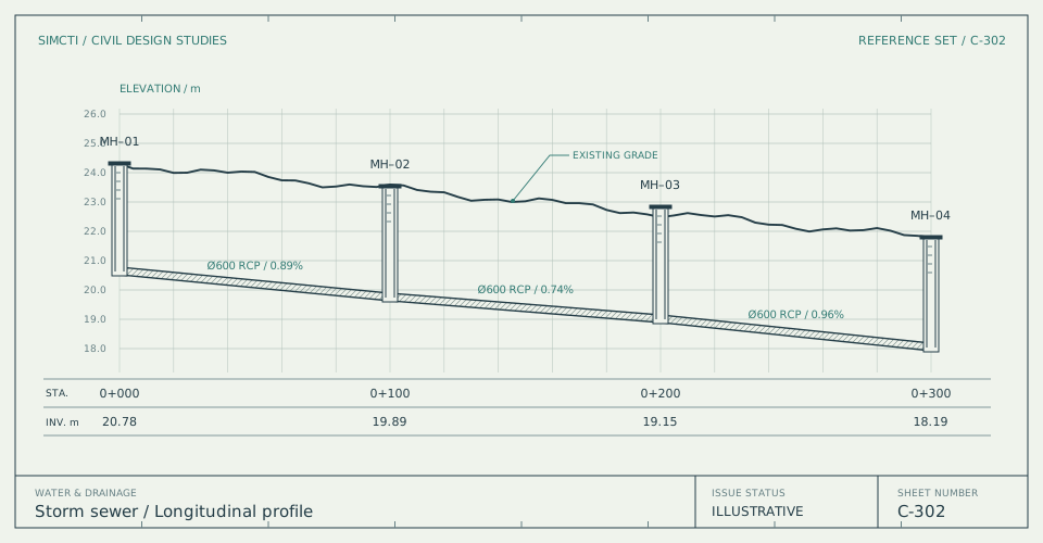
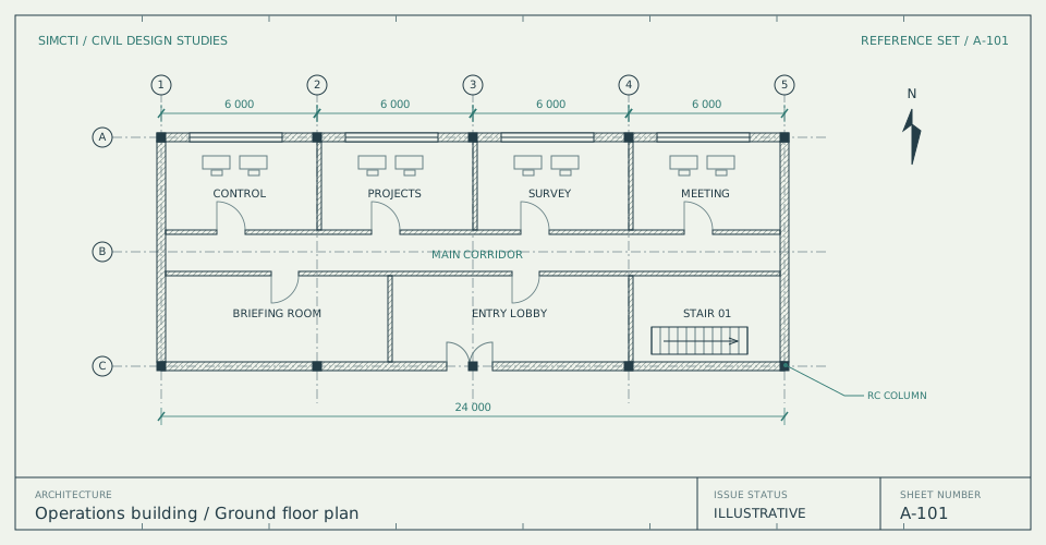
Read a building in plan, a crossing in elevation and a storm sewer in profile. Select a sheet to inspect the linework and annotations.
Sheet index / 03
A-101 / ArchitectureGround floor plan S-201 / StructuresCrossing elevation C-302 / DrainageStorm sewer profile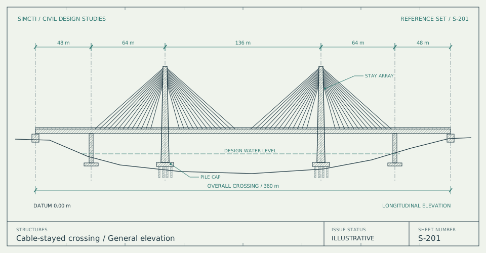
Civil domains
From the catchment to the construction site.
A new development connects to existing roads, drains and utilities. SimCTI’s platform roadmap follows those connections from site assessment to technical submission.
Water & drainage
Trace pipe sizes, invert levels and slopes across plan and profile sheets. Water supply, sewerage and stormwater review are planned modules.
Buildings & utilities
Coordinate architectural plans, plumbing layouts and utility corridors. Planned checks link discrepancies to the sheets that engineers need to revise.
Land & GIS
Site assessment brings terrain, boundaries, flood exposure and zoning into the same geographic frame. Spatial overlays are on the roadmap.
Project delivery
Future tender and approvals tools connect drawing quantities to bills of quantities, submission checklists and jurisdiction-specific requirements.
Precision AI
Upload a drawing and inspect dimensions, tolerances and thread callouts directly on the sheet. Save your review and export the findings.
Platform roadmap
From drawings to project review.
- Available
Drawing review
PDF text and scan recognition with page-level evidence and reviewer decisions.
- Planned
Connected networks
Associate plan and profile callouts with pipes, manholes and crossings.
- Planned
Site and submission review
Check project evidence against mapped conditions and locally verified requirements.